Did you know Arizona was once a part of western Georgia? Yup, in 1733 King George declared that Georgia extended west all the way to the Pacific Ocean. We almost became part of another grand plan in 1849, when the Mormons proposed the State of Deseret which included one-sixth of the contiguous U. S. and encompassed most all of today’s Nevada and Arizona, a large portion of California, encompassing several hundred miles of seacoast including San Diego, along with parts of New Mexico, Colorado, Wyoming, Idaho and all of Utah. Congress turned down the proposition and in the Compromise of 1850 did create the territories of Utah and New Mexico. For the next thirteen years Arizona made up the western half of New Mexico.
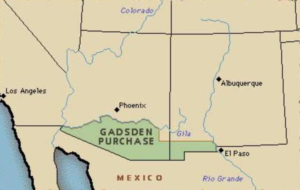
Following the Mexican War Arizona’s southern boundary was the Gila River. But the need for an all-weather transcontinental railroad along the 32nd Parallel moved Congress to send James Gadsden to Mexico to secure a piece of real estate more suitable for a railroad. In 1854, the Gadsden Purchase created the final boundary lines of the contiguous United States.
The unique diagonal line on our southern border would provide the inspiration for one of the state’s most enduring urban legends. The story goes that the surveyors were marking the line west on a course that would have taken them to straight across to the Sea of Cortez, thus giving Arizona a sea coast. The boys reached Nogales, and spent the night in a Mexican cantina. The next day, realizing the next saloon was Yuma they decided to make a beeline in a northwesterly direction to the river port on the Colorado. And that’s why, the story goes, Arizona was deprived of a sea coast. It’s a good story but it’s all hogwash. Sometimes the truth isn’t nearly as much fun as the legend. First, Nogales didn’t even exist when the boundary was surveyed. More important, Mexico didn’t want to lose their land route to Baja California, and Northern congressmen didn’t want the South to acquire any more territory than just enough to build a transcontinental railroad.
There are other colorful stories about Arizona’s shifty north, east and west boundaries too but I’ll have to save them for another day.


