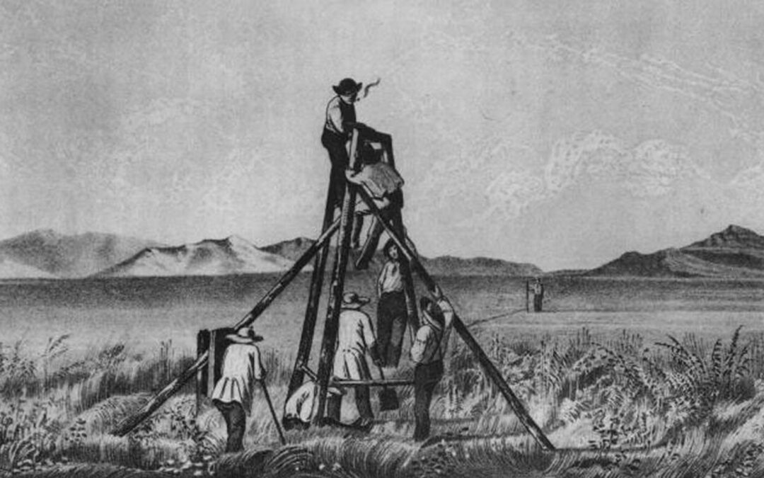
The United States secured its “Manifest Destiny” in 1848 with the Treaty of Guadalupe ending the Mexican War. Mexico agreed to give up its claim to Texas and ceded to the U.S. lands that included California, Utah, Colorado, Wyoming, New Mexico, Nevada and Arizona north of the Gila River. The acquisition of more territory with the Gadsden Purchase six years later marked the final boundaries of the nation. Most of the new lands now belonging to the Americans were known only to a few mountain men. They knew the trails, passes and water holes, but that vast knowledge was stored in their heads. The new landlords wanted the land surveyed and charted. That responsibility became the mission of a rugged bunch of officers known as the Army Corps of Topographical Engineers. This elite group of soldier-scientists, established in 1838, was a separate unit for only 23 years but during that short time they gained more knowledge of the tierra incognita than in the previous 300 years. They probably did more, in proportion to their small numbers, toward the winning of the West than any other group in American history.
Their heyday was the decade of discovery and wonder just prior to the Civil War. With few exceptions, they filled their ranks with the top graduates from West Point, the Corps combined the romance of the mountain men with the scientific prowess of the men of the Renaissance. They endured death, hardships, blizzards, frozen mountain passes, hot deserts and hostile Indians to blaze trails across the land for wagons and railroads to follow. Unfortunately, their history has been overshadowed by gold rushes and political events leading up to the Civil War.
Decked out in their blue flannel shirts, dark trousers, white hats and boot’s the corps never numbered more than thirty. Along with their scientific equipment each carried a Sharps carbine and Colt revolver.
In those days before specialization these young engineers were required to have a working knowledge of botany, biology, ethnology, geology, ornithology, anthropology and meteorology. Since cameras weren’t available they were also trained as sketch artists to record both the animate and inanimate.
There was a strong demand for a railroad to the Pacific and the topographical engineers favored a southern all-weather route along the Mexican border. It would also be the shortest and would keep the border Indians from raiding into Mexico. This of course wasn’t palatable to Northerners. The arguments raged on and finally, in 1853, Secretary of War Jefferson Davis was authorized to make four surveys from the Mississippi River to the Pacific under the general supervision of the Army Corps of Topographical Engineers. The fifth would be the Oregon Trail which was already well-known.
The surveys made by the corps of topographical engineers remain the routes of today’s four transcontinental railroads.
Related Articles
-

In the mid-1800s there was no retirement pay and no retired list. This led to…
-

Dodge City, Kansas was pretty much lawless in 1873. The vigilance committee had gone…
-

The Plains Indians called him the “Horse-chief of the Long Knives,” and the whites have…