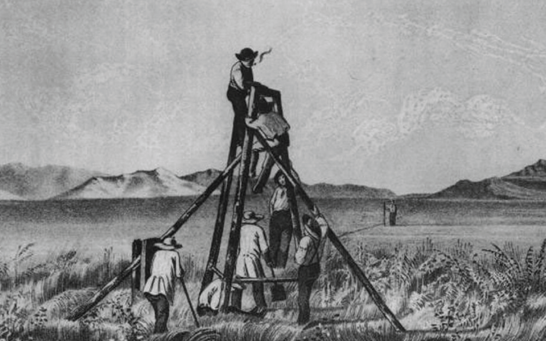
Military officers surveyed an expanded United States.
The United States secured its “Manifest Destiny” in 1848 with the Treaty of Guadalupe ending the Mexican War. Mexico agreed to give up its claim to Texas and ceded to the U.S. lands that included California, Utah, Colorado, Wyoming, New Mexico, Nevada and Arizona north of the Gila River. The acquisition of more territory with the Gadsden Purchase six years later marked the final boundaries of the nation. The new landlords wanted the land surveyed and charted. That responsibility became the mission of a rugged bunch of officers known as the Army Corps of Topographical Engineers.


