 In 1847, Brigham Young, president of the Church of Jesus Christ of Latter-day Saints, organized a pioneer party and struck out west from the Missouri River to find a new home for his Mormon followers.
With 143 men, three women and two children, Young forged a 1,181-mile trail that ended west of the Wasatch Mountain Range within view of modern Utah’s Great Salt Lake.
The Mormons literally built a road across the country as they traveled west. Men in the pioneer party, knowing that their families would follow, not only found a route but also improved stream crossings, established ferries at rivers too deep to ford and moved aside rocks and other obstructions. They also planted corn along the route so it would be ready for harvest by subsequent travelers. In later years, Mormons built way stations along the trail.
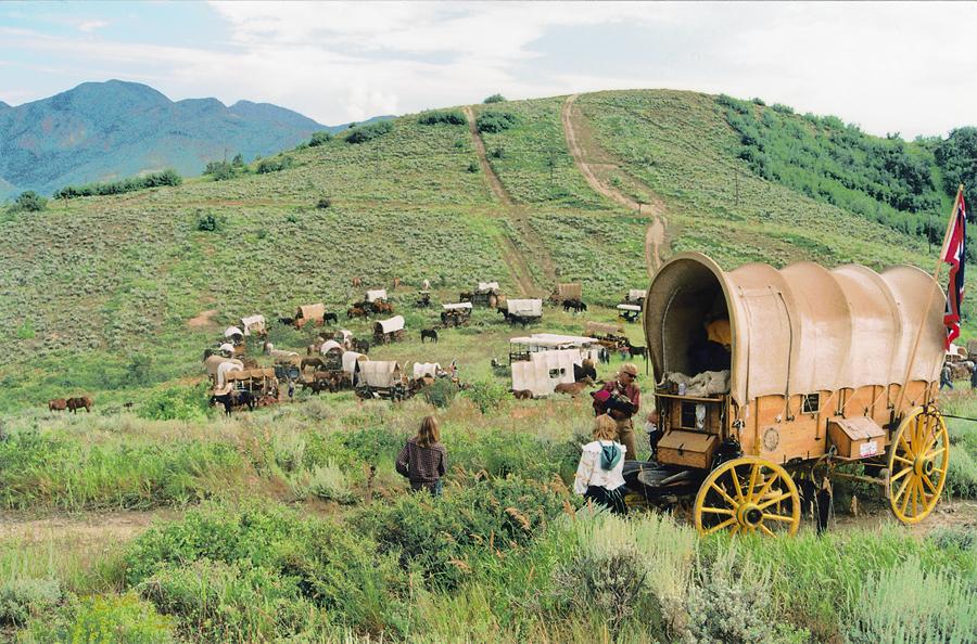
More than 70,000 converts followed the Mormon Trail from Winter Quarters in today’s North Omaha, Nebraska, to Salt Lake City during 1847-69. Many came in their own wagons, while others participated in “down and back” trains, wherein young Mormon men left Salt Lake City in the early spring, hauling food and goods produced in the region. They stockpiled some of the stores at Mormon way stations before traveling to Missouri River towns to sell what was left. The young men then gathered converts from the towns and brought them back over the trail, relying on previously cached supplies. Mormon converts from Europe and the British Isles used handcarts for the trip.
The Mormons had migrated before. Their genesis began in Palmyra, New York, where Joseph Smith received a vision that led him to write the Book of Mormon and to found the church. His followers later moved to Illinois, then Missouri and back to Illinois, where they established the city of Nauvoo, built a temple for sacred rites and became a powerful force within Illinois politics. In 1844, Joseph and his brother Hyrum were killed by an anti-Mormon mob after being jailed in Carthage, Illinois. The church continued under direction of the Council of Twelve, with Brigham Young ultimately named to succeed Smith.
But there was considerable opposition to the Mormons in Illinois, and in the winter of 1846, they began streaming west out of Nauvoo, seeking freedom from religious persecution. They reached the Missouri River during the spring and summer of 1846, where they raised a battalion of fighting men to support Lt. Stephen Watts Kearny during the American war with Mexico, and they also established a temporary camp on the west side of the Missouri for the winter of 1846-47. Known as Winter Quarters, the camp became a deadly location. Hundreds died of cholera, scurvy, dysentery and from the effects of severe weather.
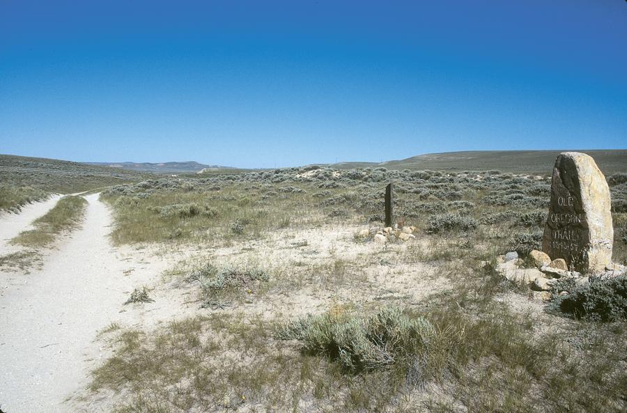
The Mormon Pioneer Trail connects Winter Quarters with Salt Lake City. The trail lies north of the Platte River through Nebraska and along the North Platte River in Western Nebraska and Wyoming to Casper. It then follows the general route of the main Oregon Trail to the Sweetwater River Valley, over South Pass and down to Fort Bridger, where the trail deviates from the Oregon route since the Mormons traveled west to the Great Salt Lake Valley.
Winter Quarters
Begin your trip at Winter Quarters Historical Site, where a visitor’s center tells the story of the early Mormon Church development. Then cross the street to stroll through the hillside cemetery holding those who died at Winter Quarters during that first year of migration.
Mormon pioneer Louisa Barnes Pratt recalled the camp, writing, “I hired a man to build me a sod cave. I paid [him] a five dollar gold piece for building my sod house. A long cold rain storm brought more severely again the chills and fever. Many of my friends sickened and died in that place, when I was not able to leave my room, could not go to their bedside to administer comfort to them in the last trying hours, not even to bid them farewell. Neither could I go to see their remains carried to their final resting place where it was thought I would shortly have to be conveyed.”
Today, the area near State and 33rd Streets in Northeast Omaha has many Mormon historic sites including the Mormon Pioneer Memorial Bridge, Florence Mill, Florence Park, Mormon Pioneer Cemetery and Cutler’s Park. Directions to these sites are available at the Winter Quarters Historical Site.
Wood River Crossing
From the sites, follow Interstate 29 north to U.S. 30 and then turn west as the Mormon pioneers did. To stay closest to the trail, follow U.S. 30 west along the Platte River, detour at Columbus onto Nebraska Highway 22 to Monroe and Genoa, and turn south on Nebraska Highway 39 to rejoin U.S. 30. Continue west through Grand Island to present-day Alda, where there are Mormon Trail remnants at the Murdock Site (named for a later homesteader), located between the highway and the Platte River, two miles south of Alda and one mile southwest of the Wood River Crossing.
Brigham Young’s party crossed here on April 29, 1847, and member William Clayton reported, “The morning very cool. After traveling about two miles came to a pretty stream of good water [Wood River], about ten feet wide on an average, but at the fording place about a rod wide. We then traveled on a table or prairie gently ascending for four or five miles but very even and good traveling.”
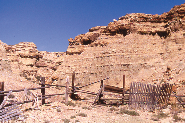
Some of the most impressive Mormon Trail swales in Nebraska are located on private land in the Sand Hills north of Sutherland. They were forged when the wagons detoured from the river because great sand bluffs sweeping down to the water had made it difficult for wagon teams to negotiate.
Like trail travelers on other routes west, the Mormons often remarked on the bluff formations in Western Nebraska. When you reach Ogallala on U.S. 30, take U.S. 26 along the North Platte River. The pioneer party named Ancient Bluff Ruins at Broadwater, Nebraska, a dramatic formation north of the river, which Mormon leaders climbed on Sunday, May 23, 1847. They wrote their names on a buffalo skull, leaving it at the southwest corner of the bluffs. The leaders measured the rise at 235 feet and rolled stones from the top of the bluff before returning to their camp along the river.
Heading to South Pass
Leaving the sandy country of Western Nebraska, the pioneers headed toward Eastern Wyoming’s Fort Laramie, where they obtained supplies. During your visit, take time to walk among the ruins and renovated structures at this frontier post, which began in 1834 as a fur trading post. As a frontier military post from 1849-90, it was also the site of Indian treaty councils during the 1860s.
The Mormons left the North Platte River at present-day Casper after establishing a ferry service to aid fellow travelers. Casper is a good place for an overnight stay. To learn more about the Mormon Trail experience, visit the National Historic Trails Interpretive Center, which offers two exhibits on Mormon handcart travel.
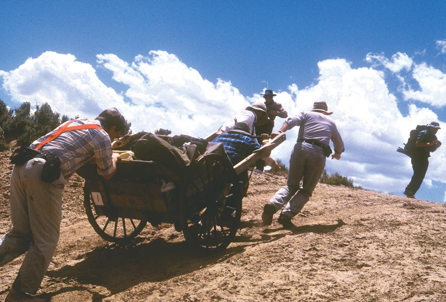
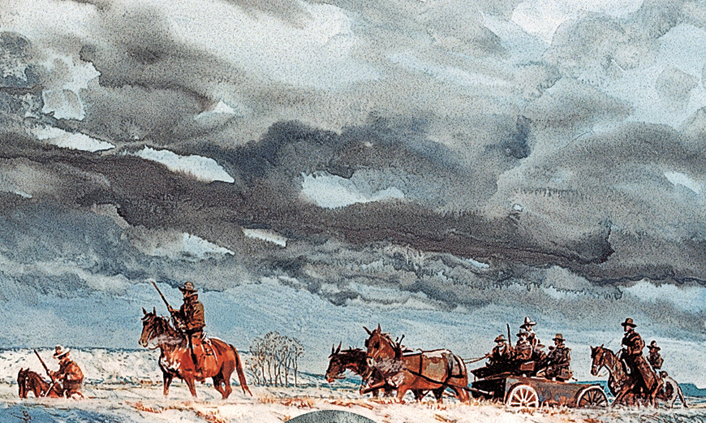
West of Casper, follow Wyoming Highway 220 past Independence Rock and Devil’s Gate. Plan to spend time at the Mormon Handcart Historic Site (formerly the Tom Sun Ranch), where you will learn about the great trail tragedy of 1856 when Mormon converts from England became stranded by severe weather and fatigue. Many died at Martin’s Cove, just west of the site.
From this point, follow U.S. 287 north to Wyoming 28 and take that highway west over South Pass. Then follow Wyoming 372 south to Interstate 80 and take it to Fort Bridger, a trading post built by Jim Bridger and Louis Vasquez in 1842-43. The Mormons controlled the post from 1853-57 when they burned it and retreated in the face of opposition from the U.S. Army, which was intent on replacing Brigham Young as governor of Deseret (known today as Utah).
Great Salt Lake Valley
From Fort Bridger, continue west on I-80 to I-84, turn north to Henefer and then head south on Utah Highway 65 through East Canyon State Park, over Big Mountain and into Salt Lake City (as an alternative, continue west along I-80).
From the top of Big Mountain in the Wasatch Range, you will catch your first glimpse of the Great Salt Lake Valley, perhaps feeling as Orson Pratt did on July 21, 1847, when his pioneer party reached this point: “we could not refrain from a shout of joy which almost involuntarily escaped from our lips the moment this grand and lovely scenery was within our view.”
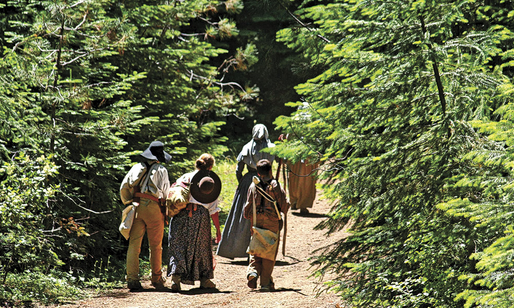
A massive memorial to the Mormon pioneers is found at This is the Place Heritage Park, at the eastern edge of Salt Lake City. The park (so named to memorialize Brigham Young’s declaration upon arriving in Salt Lake City) also features a visitor’s center and reconstructed pioneer village with living history programs operated by the site’s nonprofit foundation.
Conclude your trip along the Mormon Pioneer Trail at Temple Square in downtown Salt Lake City, where you can view a film depicting the Mormon story, conduct research at the world-renowned family history library, visit museums and listen to the Mormon Tabernacle Choir in the pioneer-era tabernacle.
Candy Moulton is the editor of Western Writers of America’s Roundup magazine.
Photo Gallery
– By Karen A. Robertson –
– By Candy Moulton –
– By Candy Moulton –
– By Karen A. Robertson –
Related Articles
-
After Pat Garrett and his posse successfully captured Billy the Kid and three members of…
-
The earliest travelers to Oregon Country abandoned their wagons at The Dalles and proceeded on…
-
From San Juan Pueblo, in present-day New Mexico, to Mexico City, Mexico, the Royal Road…