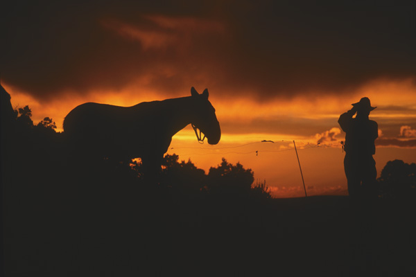
 I first saw the Cherokee Trail when I was a little girl. One branch of it crossed my family’s ranch near Encampment, Wyoming, and when we were at the reservoir either checking the irrigation headgates, having a picnic or fishing, my father pointed it out to me. At the time I was about five years old.
Since 1990, I’ve traveled many Western emigrant trails, and yet the Cherokee, which runs practically through my own backyard, remained unexplored. When I finally decided to follow the trail, I began in the middle—at home—and it took me more than a year to get from one end to the other. For this Renegade Road, I’ll start in the East and travel north and west.
As the route to California’s goldfields from Arkansas and Oklahoma, this trail was called the Cherokee because it was forged by members of that tribe in 1849. It’s not the far better known Cherokee Trail of Tears, over which the Cherokees, Choctaws, Chickasaws, Creeks and Seminoles traveled when the 1838 Indian Removal Act forced the Indians from their homelands in the Southeast to the Indian Territory in present-day Arkansas and Oklahoma.
This Cherokee Trail linked Bent’s “Old” Fort on the Santa Fe Trail in Colorado with Fort Bridger in Wyoming, where it joined the California Trail. The first group of Cherokees and whites to travel the route was Capt. Lewis Evans’ party in 1849. Consequently, the path is sometimes referred to as the Evans Route or Evans Trail. Used as a two-way route for travelers and commerce, the Cherokee Trail had campsites roughly 12 to 20 miles apart. The first major long-distance cattle drives in the West used this trail to supply beef from Arkansas and Oklahoma to gold camps in California.
The trail starts near La Junta, Colorado, at Bent’s “Old” Fort NHS. Most parties made their way to Bent’s “Old” Fort by following the Santa Fe Trail or other feeder routes from Arkansas and Oklahoma. By the time they reached Bent, St. Vrain & Company’s trading post on the Arkansas River, most travelers were trail savvy, and likely trail weary. From Bent’s “Old” Fort, they followed the Arkansas River Valley west toward Pueblo, Colorado, before turning north on an established trail made by trappers and traders going between Taos, New Mexico, and Wyoming’s Fort Laramie.
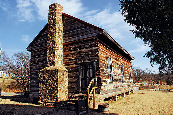
The earliest settlers in Pueblo established the El Pueblo Trading Post to serve travelers and other residents. Near downtown Pueblo today, the trading post has been recreated by the Colorado Historical Society.
From Pueblo, follow the trail north on Interstate 25 through Colorado Springs, Castle Rock and Denver.
A lot of traffic traveled through this region during the trail’s first decade of use. Some Cherokees who forged the trail to California’s goldfields also made the initial strikes that eventually led to the Pikes Peak gold rush. In addition to gold seekers en route to California, several military commands also followed the trail. Capt. Randolph B. Marcy used it as a return route after he had journeyed through Colorado’s mountains from Fort Bridger to Fort Union in the winter of 1857-58. (See July 2003, Renegade Roads.)
In what is now a part of the Denver metropolitan area, the trail splits. One route heads along the South Platte River to Greeley and a site known as Cherokee Crossing or Cherokee City. From there, the trail makes its way along the Cache La Poudre to Laporte. If you take this route (follow U.S. 85 from Denver north to Greeley), visit some of Colorado’s early trading sites, such as Fort Lupton, Fort Jackson, Fort Vasquez and Fort St. Vrain.
Today, U.S. 85 literally surrounds Fort Vasquez, which the Colorado Historical Society recreated just feet from its original location. At the fort and museum, you’ll learn about other fur trading posts in the vicinity, and see equipment and clothing used by mountain men.
Most Cherokee Trail travelers used the branch that crossed the South Platte River east of Greeley at Cherokee Crossing/Cherokee City. Other emigrants followed a path closer to the Front Range of the Rockies. The two trails eventually merged in present-day Laporte.
Once emigrants made their way into Wyoming, north of Virginia Dale (better known as an Overland Trail station), the main trail continued north along U.S. 287 to Laramie and Interstate 80 from Laramie to Fort Bridger, passing through or near Elk Mountain, Rawlins, Rock Springs, Green River and the town of Fort Bridger.
Laramie didn’t exist during Cherokee Trail days, but came to life in 1869 when the Union Pacific Railroad pushed west. By all accounts, the towns spawned by the transcontinental railroad were hell-on-wheels, as most communities flourished quickly and lasted briefly. Because of the city of Laramie’s strategic location, it became permanent.
Traveling west from Laramie on I-80, you’ll skirt around the northern edge of the Medicine Bow Mountains. Unlike the original Cherokee Trail travelers, you’ll find restaurants and lodgings, such as the historic Elk Mountain Hotel in the small community of the same name.
In Rawlins, the north branch passed east and north of the city and the south branch was much farther south. As you continue west, detour from I-80 at Point of Rocks and drive about a half mile south of the interstate to the Point of Rocks Stage Station. The old stone station is the easiest access point to walk the Cherokee Trail, as the route is well marked.
The 1849 trail route passed north of Rock Springs, another town spawned by the Union Pacific, but one 1850 party went directly through what is now the town of Green River. From Green River, continue west to Fort Bridger, where you should plan to spend several hours exploring. This trading post has served travelers on the Oregon, Mormon and Cherokee Trails since 1843 when Jim Bridger and Louis Vasquez officially opened it. (Vasquez is the same man for whom Colorado’s Fort Vasquez is named.) You can buy period goods ranging from trade beads, hats and shirts to tin cups and replica weapons at the recreated trading post.
In 1850, some travelers took a new route that zigged and zagged along the Wyoming-Colorado border. To follow this route, take Wyoming Highway 230 west from Laramie toward Woods Landing. After reaching Mountain Home, you’ll break out of the Medicine Bow National Forest and be in Colorado’s open park—Kings Canyon. You’ll see the grade of the old railroad, which is roughly where the Cherokee Trail made its way into North Park.
At the junction of Colorado Highways 125 and 127, turn north toward Saratoga, Wyoming. Riverside is just 45 miles up the road, followed by Encampment. After crossing the North Platte River, follow the 1850 Cherokee Trail’s south branch to Encampment. Southwest of the highway, the trail runs on a line close to the mountains. This is the part of the Cherokee Trail that passes near my home. Although the trail isn’t marked, you’ll cross it near Riverside.
Much of the trail between Encampment and Baggs is on private property and inaccessible, though there are unpaved county roads to drive on so you can stay as close as possible to the original route. For help following the trail to Baggs, stop at the Grand Encampment Museum, which sells county maps. You can also reach Baggs by following Wyoming Highway 70, which is south of the trail.
North of Baggs, the Cherokee Trail crosses Highway 789 and continues west on a route that runs just a few miles north of the Wyoming-Colorado border. This is big, rough country with lots of roads, many of them two-track trails. The best way to see the south branch of the Cherokee Trail, west of Baggs, is to do what I did and contact John and Esther Clark of Wild Horse Country Tours. They’ll show you not only Cherokee Trail segments—including graves of travelers who didn’t make the entire journey—but also wild horses that roam free across this section of public land.
If you have a four-wheel-drive vehicle and an adventurous spirit, you can also find the trail south of Rock Springs and Green River. For maps and directions, contact the Bureau of Land Management office in Rock Springs.
Related Articles
-
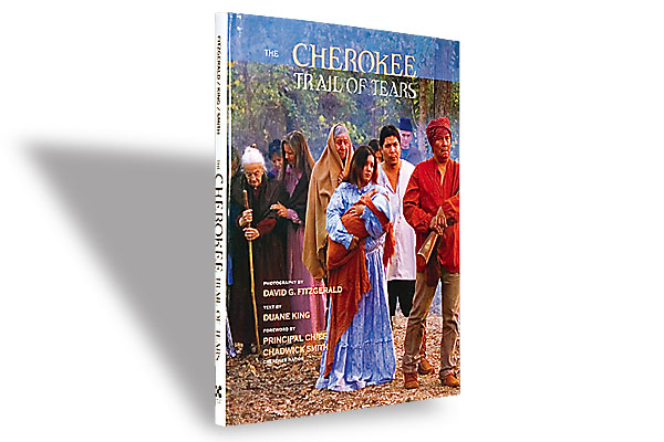
Duane King expertly recounts this tragic tale with historic maps, diaries, military accounts and oral…
-
When Robert J. Conley died in 2014, the Cherokee Nation and Western literature lost a…
-
Last March 6, a direct descendant of Sequoyah, the mayor of Tahlequah and the principal…