 One can hardly envision Tucson when J. Ross Browne saw it in the 1860s, “…a city of mud boxes, dingy and dilapidated, cracked and baked into a composite of mud and filth.”
When Browne visited Tucson, it was the largest town in Arizona, made up of original settlers and those who had flocked to the “Old Pueblo” in the wake of the abandonment of military forts and the outbreak of hostilities with the Chiricahua Apache.
Shortly before and after Mexico declared its independence, land grants were doled out to encourage settlement of its northern frontier. In Arizona, the grants were located south of the Gila River and along watercourses such as the Santa Cruz and San Pedro Rivers. However, Mexican citizens had a difficult time protecting their interests from the raiding forays of the Apaches. By the time the Americans took control over the Southwest, the citizenry had been isolated to small towns near the Santa Cruz River.
After the region became part of the U.S., Americans arrived, interested in the mineral riches of the mountains flanking the north-south corridor along the river and the trade potential along the then-recently completed Southern Overland Trail. One of the earliest speculators was Charles DeBrille Poston, the self-proclaimed Father of Arizona who headquartered at the Tubac Presidio in the 1850s and had mining interests on both sides of the river.
The U.S. stationed troops at nearby forts to protect the citizenry and transportation routes from Apache raids, inheriting the same problems experienced by their O’odham, Spanish and Mexican predecessors. Once the Chiricahua Apaches were pacified, peace was brought to the area, but development was limited to river towns, and farming- and mining- related communities. The land grants were retained, and most converted to
large cattle ranches, many of which are still in existence today.
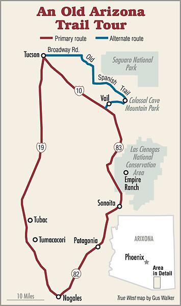
To get a glimpse of historic southern Arizona, begin in Tucson and take Interstate 19 south. Just south of the Old Pueblo is San Xavier del Bac Mission, which the Franciscans built between 1783 and 1797 at the site of a Tohono O’odham village and is still active. As you pass through Green Valley, you’ve entered the Canoa Ranch, formerly known as the San Jose de la Canoa land grant. In 1820, the Spanish government granted brothers Ignacio and Tomas Ortiz 17,000 acres. Purchased by Americans in 1876, the ranch was expanded in the early 20th century and reached 100,000 acres by the 1940s. It was later sold for development, with Pima County purchasing 6,000 acres for preservation.
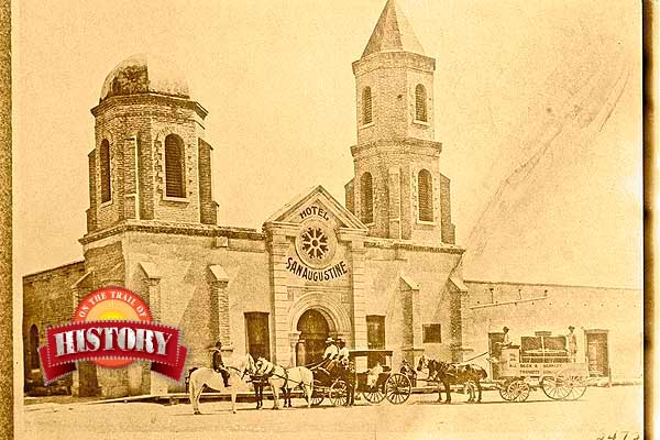
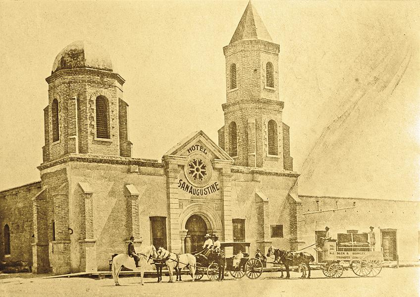
Farther south is Tubac, which, like Tucson, was once an Indian village, and later a mission and a fort. The presidio of San Ignacio de Tubac was founded a year after the Pima Revolt in 1751, abandoned in 1776 when the garrison moved to Tucson, and then reactivated in 1787. It remained a bastion on the Santa Cruz until being abandoned by the Mexicans in 1848 subsequent to an Apache attack. After the 1853 Gadsden Purchase, Tubac was the headquarters for Poston’s Sonora Exploring and Mining Company and the location of Arizona’s first newspaper. By 1860, Tubac had become Arizona’s largest town, only to be vacated again when U.S. troops were withdrawn in 1861, never to regain its antebellum prominence. Today, Tubac is a small, artsy community, and the remnants of the fort are preserved at Tubac Presidio State Historic Park.
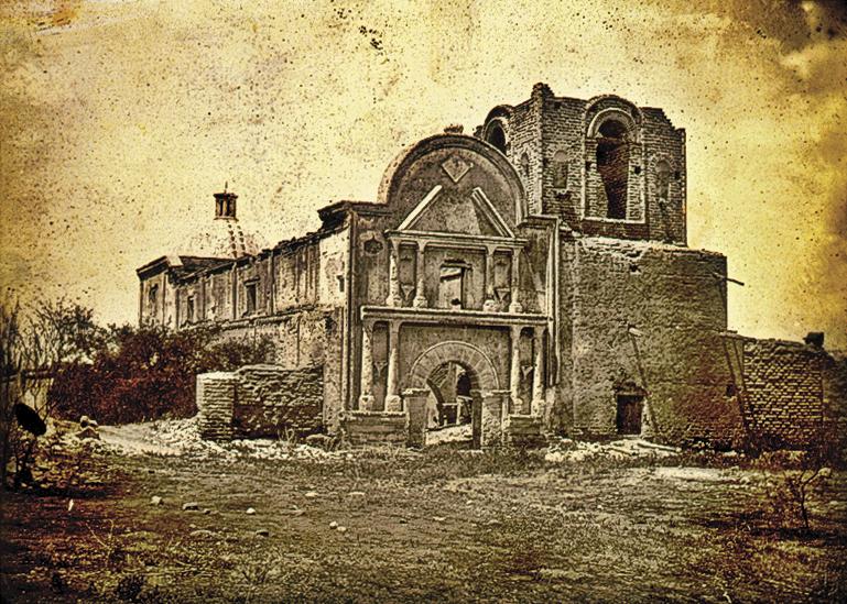
Just past Tubac is the abandoned mission of San Jose del Tumacacori. The Franciscans started the current mission in 1800, but financial issues created a building schedule that extended almost 30 years. When the Tubac Presidio was abandoned in 1848, so was the mission. The mission is now part of Tumacacori National Historical Park.
Stay on I-19 to Arizona 82 and then head east through the San Jose de Sonoita Land Grant (1821) to the town of Patagonia, which by all appearances looks like a railroad town, except for one feature: the lack of a railroad. There once was a railroad through the town, connecting Benson on the Southern Pacific line with the port of Guaymas in Sonora, Mexico. However, after the line became obsolete, the rails were pulled up in the 1960s. The Patagonia station grounds became the town park, and the depot now serves as the town hall.
The Santa Rita Mountains to the north and the Patagonia Mountains and Canelo Hills to the south of town are peppered with old mines with histories linked to the development of Arizona. One of these is the Mowry Mine. Sylvester Mowry purchased the mine in 1860 after returning from Congress where he had represented the proposed Territory of Arizona. He was arrested for supporting the Confederacy two years later.
Farther east along Highway 82 are the sites of Fort Buchanan and Camp Crittenden. The former was abandoned at the outbreak of the Civil War, but not before its commandant sent a detachment of troops under the command of a lieutenant whose decisions would lead to a decade of warfare between the U.S. and the Chiricahua Apaches. After the Civil War, Camp Crittenden was built about a half mile from the fort and occupied until the early 1870s. Please keep in mind that these sites are on private or public land, so the collection of artifacts amounts to looting.
Continuing east on Highway 82, at the intersection with Arizona 83, is the community of Sonoita which, with neighboring Elgin, are the center of an American Viticultural Area (AVA). In layman’s terms, that means “wine region,” and the Sonoita AVA has a dozen or so wineries that create some fabulous Cabernets, Chardonnays and Pinots.
From Sonoita, head north on Arizona 83 to the Empire Ranch, a working cattle ranch in the middle of the 45,000-acre Las Cienegas National Conservation Area. The original ranch house is being restored and is open to the public. Continue north on Highway 83 to reach Interstate 10, which follows the route of the Southern Overland Trail, then head west and return to Tucson.
* For more great Western heritage travel adventures please click on the links below.
- Texas Hill Country Trail: Cavalry, Cowboys and Germans
- Following North Dakota’s Sheyenne River
- Rambles Through the Nebraska Panhandle
- The Bozeman Trail
- On the California Trail: Salt Lake City to Sacramento
Photo Gallery
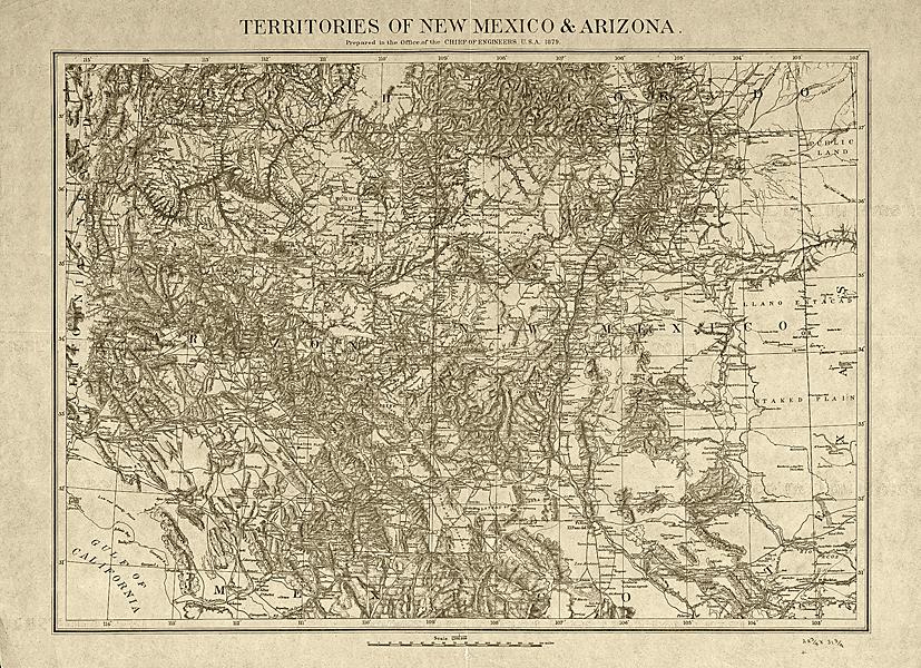
– Courtesy Library of Congress –

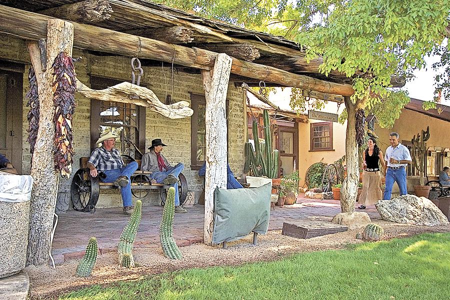
– By Adrienne M. Halpert / Arizona Office of Tourism –
– Courtesy Library of Congress –
– Courtesy Library of Congress –
Related Articles
-
In the first of this “Western Duo,” Sunset Trail has U.S. Agent Bruce Shane striving…
-
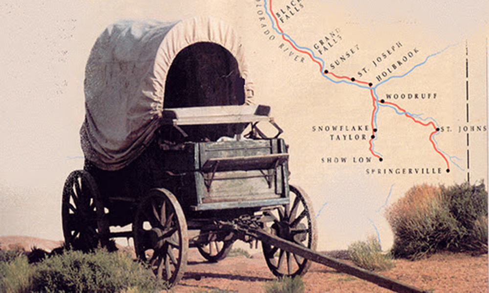
There were many trails that crossed Arizona in the early days including the Butterfield Overland…
-
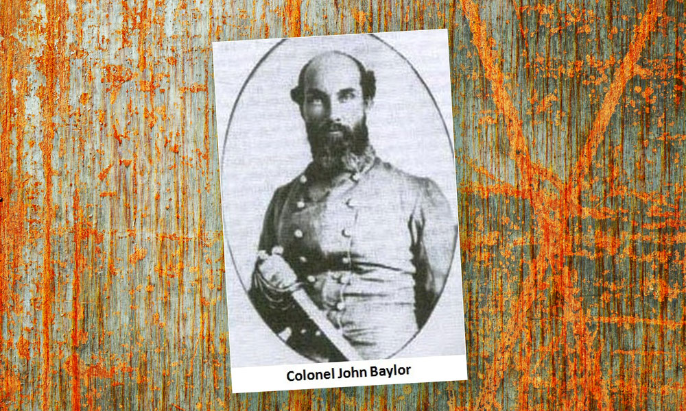
Col. John Baylor learned that fame and power are fleeting. In 1861, he led Confederate…