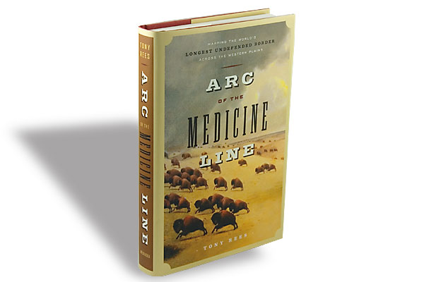

Here is the story of the mapping of the “Medicine Line,” the segment of the U.S.-Canada border across the Great Plains (named so by the Indians because U.S. Cavalry, pursuing hostiles, “superstitiously” pulled up at the line). This section, from Manitoba’s Lake of the Woods to the Rockies, was the last to be determined after the eastern border and the British Columbia line. Surveying the 900-mile stretch began in 1872 along the 49th Parallel of latitude. Completion of the survey defined the final shape of the U.S., marking the world’s longest undefended border. Onlookers were Blackfeet, Sioux, Assiniboines, Métis and French-Canadian. Tony Rees’s historical study is a welcome addition to our bookshelves.
Related Articles
-

When Bob Fussell edited his grandfather’s memoirs, he wondered if the stories were true. Consulting…
-

Pierce Burns brings us the true story of his family during the Depression years in…
-
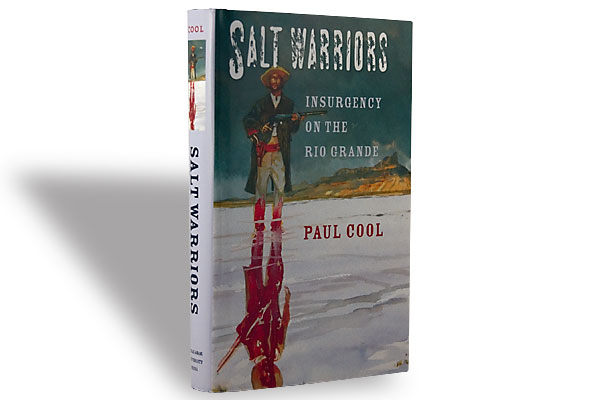
Salt has been of immense value to humans for eons, and there’s no shortage of…