Lewis and Clark’s Oregon
The Columbia River leads travelers to the sea along the route of the Corps of Discovery.
By Terry Del Bene
The Corps was tasked to gather infor-mation about peoples, plants and animals that inhabited the purchase, and to establish friendly relations with the native inhabitants. The explorers managed to get along with their numerous hosts on the route, despite intense intertribal competition to control trade. The Corps narrowly avoided enraging the Brule Sioux sufficiently to start an armed conflict early in their journey.
By good planning and better luck, the Corps managed to reach the limits of the Louisiana Purchase, the headwaters of the Missouri, in September of 1805, having suffered the loss of but a single life. The expedition continued west into lands claimed by multiple nations. The explorers entered the Columbia River drainage following that watercourse, alternately canoeing and portaging around rapids and waterfalls. Near Umatilla they entered Oregon. The swift currents gave the Corps some of its fastest days of travel, surpassing an incredible thirty miles a day on occasion. On November 6, 1805 Clark’s journal proclaimed, “Ocian in view! O! the joy.” It took the explorers another eight days to reach the actual ocean as Clark had only seen an estuary and swift progress was thwarted by contrary tides and winds.
The Corps set about exploring the coastlines of Washington and Oregon before settling on a location in Oregon, where they built a stockade to shelter their thirty-plus members, a baby and a Newfoundland dog. The choice of the winter camp’s location was put to a vote of all the adult participants, including a Native American woman and an African American slave. The Corps named its winter home Fort Clatsop after a local tribe. Pelted by rains, hail and occasionally snow, the Corps struggled to complete its shelters, even plundering boards from abandoned Indian huts.
The explorers hoped to contact a trading vessel and obtain supplies, but such an encounter was not realized. The expedition spent the winter preparing for the trip home by repairing equipment, hunting, fishing and preserving food. A furnace was built on the beach, in the modern town of Seaside, and a work detail spent weeks boiling seawater to render salt. The several bushels of sea salt produced preserved food for the return journey.
The Corps invested significant time learning about and keeping notes on the local Indians and the environment of the Northwest. The explorers traded with several tribes and documented the life-ways and customs of their hosts in detail. For example, they documented the manufacture of Clatsop and Chinook Indian bows that were backed with sinew and held together with glue made of sturgeon. They recorded local plants and animals and often provided names for them in local languages. When news of a beached whale reached the explorers, a party was dispatched to the site but arrived too late to harvest this bounty. Local Indians shared some of the whale with their guests.
Several of the men were afflicted with influenza while others complained of venereal disease. The former was attributed to the climate and the latter to liaisons with Chinook women. Lewis nursed the men back to health. With buffalo unavailable, the Corps took to purchasing dogs, dried fish and roots from the Clatsop to break up the monotony of the elk meat that dominated their diet.
On March 23, 1806, the Corps began to retrace their steps and return home. Having made no contact with trading vessels, they left certificates with tribal leaders, a record of their having reached the Pacific. Going upstream against the current of the Columbia was hard work. The task required paddling and portaging until they could get into Nez Perce country and recover their horses left there for safekeeping. The adventures continued on the rapid return home. The Corps split into two for a period and one group had a skirmish with the Blackfoot Indians, the only such violence on the journey. The reunited party reached St. Louis on September 23, 1806, having covered roughly 8,000 miles in just under three years. Lewis and Clark did not blaze a route for others to follow but they dangled the vision of western horizons and boundless resources before many who followed. The door to the Northwest had been pried open.
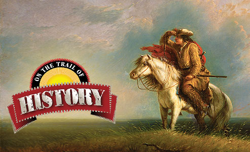
Follow the Paths of the Corps of Discovery
A visit to Oregon offers opportunities to visit landscapes passed through by the expedition. There are no places along the Corps’ route in Oregon where it is possible to state with confidence that the Corps actually trod that exact piece of ground. Hat Rock is a landmark named by the Corps but not visited by them. Even Lewis and Clark National Park, the site currently maintaining a replica of the famed Fort Clatsop, may not be the precise location of this historic fort, the placement of which has yet to be verified archaeologically.
The Lewis and Clark National Historic Trail is marked along highways of the state. The path in Oregon follows the Columbia River and the Pacific shoreline between Hat Rock and Seaside. Working an east-to-west trip starting at Hat Rock State Park (the 1805 route) along the route one follows U.S. Route 730 to Interstate 84/U.S. Route 30. These routes follow the southern bank of the Columbia River all the way to Portland. After Portland, U.S. Route 30 continues to follow the southern bank and eventually winds up in Astoria. From Astoria, follow U.S. Route 101 to Fort Clatsop and sites associated with the ocean around the town of Seaside. One can follow the 1806 the 1806 route of the Corps by taking by taking the same roads in reverse.
Along the route be sure to see Hat Rock State Park (near Umatilla), Columbia Gorge Visitors Center (The Dalles), Lewis and Clark National Historic Park (Astoria), the Historical Salt Works (Seaside), and pay attention to signs along the entire Lewis and Clark National Historic Trail for more points of interest.
Despite modern barges plying the Columbia River, on a quiet, misty morning one can almost look into the past and discern the dark shapes of the Corps’ crude canoes. Those vessels were piloted by a handful of intrepid explorers who unknowingly brought amongst their cargo of trade items and medallions portents of the great changes to come and the terrible fall of nations.
Detour
Fort Clatsop National Memorial
It never rains but when it pours! To the Corps their arrival in the Northwest after over a year in the semi-arid Missouri River drainage was made almost intolerable by the virtually incessant rains that characterized winter in that region. The diaries are full of references to the tribulations created by the weather. Until the Corps could build huts they were forced to sleep out in the tatters of their tents, often kept awake all night while streams of water ran through the tents. On December 17, 1805, Lewis wrote one of his many mentions of the foul weather, “It rained all night, and this morning there was a high wind, and hail as well as rain fell; and on the top of the mountain about ten miles to the southeast of us we observed some snow. The greater part of our stores is wet, and our leathern tent is so rotten that the slightest touch make a rent in it, and it will now scarcely shelter a spot large enough for our beds.”
Side Roads
Places to Visit: Fort Stevens State Park, Astoria • Fort Clatsop National Memorial • Lewis and Clark National Park • Columbia River Maritime Museum • The Oregon Historical Society & Museum, Portland • Fort Dalles Museum, The Dalles • Columbia Gorge Discovery Center & Museum, The Dalles.
Celebrations & Events: The Saltmakers Return, August, Seaside • Whale Watching Week, Oregon Coastline, December • Fort Dalles Days, July, The Dalles.
Good Eats, Sleeps and Reads
Good Grub: Charburger, (Cascade Locks) • Jake’s Famous Crawfish (Portland) • BRIDGEwater Bistro, (Astoria) • Baldwin Saloon, (The Dalles).
Good Lodging: Cousin’s Country Inn, (The Dalles) • Red Lion on the River, (Portland) • Astoria Crest Motel (Astoria).
Good Books: The Journals of the Expedition of Capts. Lewis and Clark edited by Nicholas Biddle • Undaunted Courage, Meriwether Lewis, Thomas Jefferson, and the Opening of the West by Stephen Ambrose • Lewis and Clark Through Indian Eyes: Nine Indian Writers on the Legacy of the Expedition by Alvin M. Josephy Jr.
Terry A. Del Bene is an archaeologist and has authored several books including The Donner Party Cookbook: A Guide to Survival on the Hastings Cutoff.
Related Articles
-
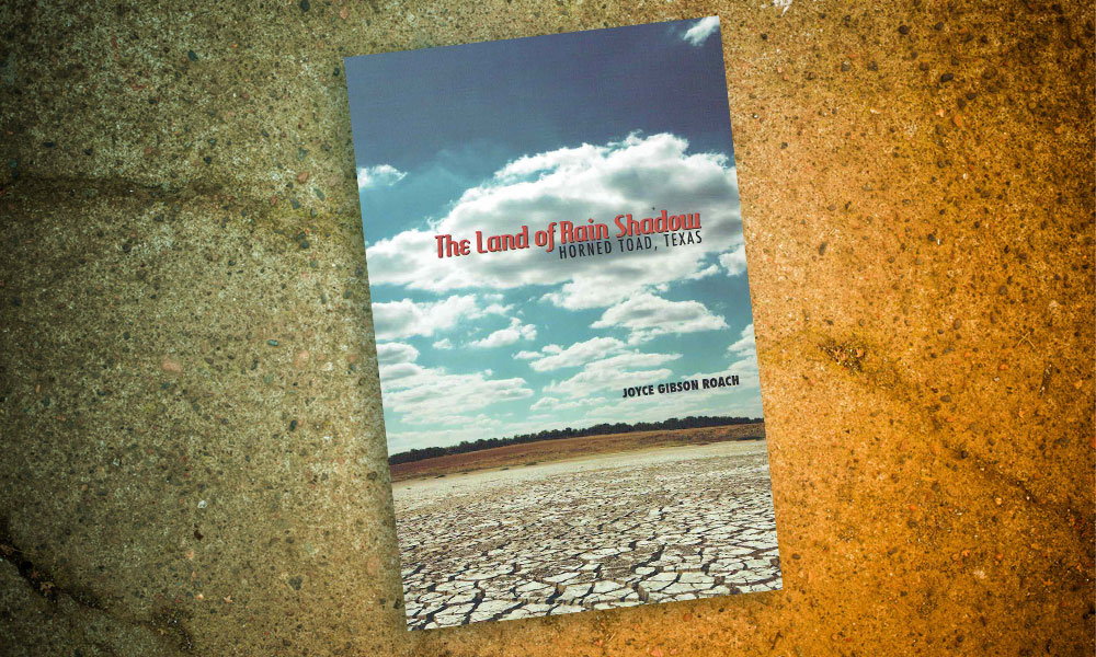
Texas Tech University Press has recently published West Texas author Joyce Gibson Roach new collection…
-

In Wagons West: Texas Freedom!, Dana Fuller Ross spins an intriguing tale worthy of Alamo…
-
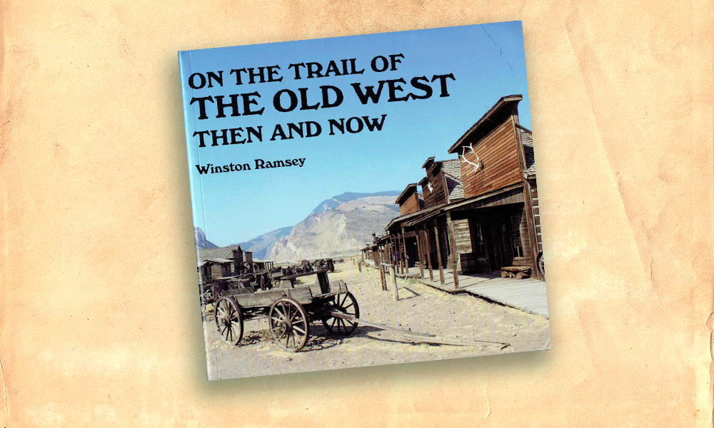
English author Winston Ramsey loves the history of the Old West. His passion for the…