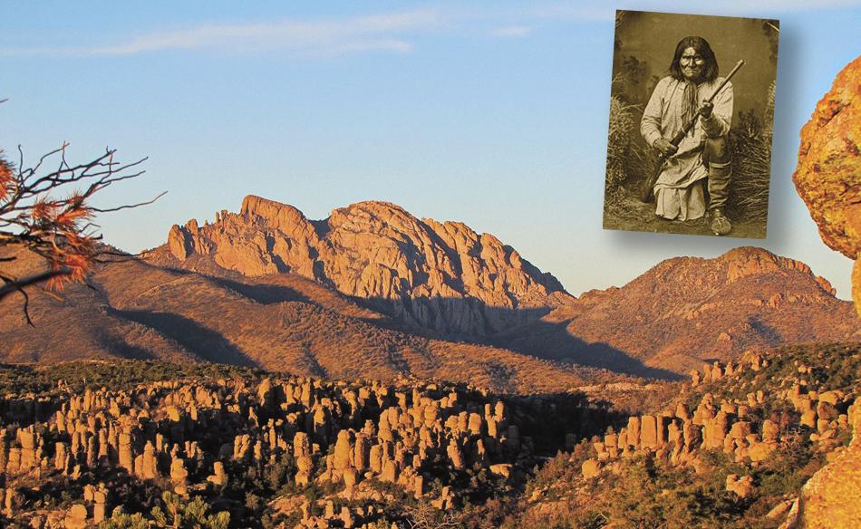
Geronimo’s Arizona
The Chiricahua Apache leaderís life rides high and low across the stateís Sky Islands.
By Carol Markstrom
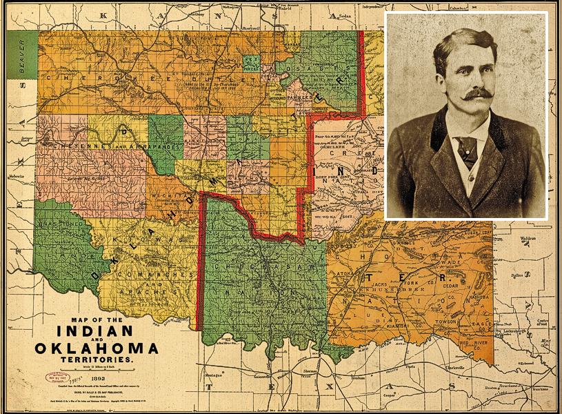
Southeast Arizona is steeped in Apache history and lore with telling place names such as Geronimo, Apache and Cochise. This is a region of great geographical and botanical diversity where the Sierra Madre and Rocky Mountains meet the Chihuahuan and Sonoran deserts with sky islands dominating the long vistas with basins and valleys between them. Apaches knew and understood this landscape, adapting to its harshness and subsisting on its resources. Today, beyond the San Carlos Apache Reservation, the Apache presence is noted in roadside markers and historical parks and museums. Yet, from 1872 to 1876 the Chiricahua Apache Reservation encompassed a significant portion of southeast Arizona, including the craggy Dragoon, Chiricahua and Dos Cabezas mountain ranges. The Chiricahua Reservation’s closure was spurred by the death of iron-fisted Cochise, the Apaches’ continual raiding into Mexico, and U.S. government policy to re-assign Chiricahuas and other Apache groups to San Carlos. Apaches struck fear throughout the land during the last decades of the 19th century and so one-fourth of the U.S. Army was involved in the quest to capture Geronimo.
The San Carlos Apache Reservation, 100 miles north of Tucson or 100 east of Phoenix, is the starting point for this tour. Try your luck at the Apache Gold Casino Resort or stay overnight, but most certainly stop at the San Carlos Apache Cultural Center at milepost 272 on U.S. 70. The center’s knowledgeable director, Herb Stevens, can orient visitors to the history and culture of San Carlos. Dioramas at the Cultural Center’s small museum depict traditional Apache customs and lifestyle. A small gift shop carries books, plus jewelry, traditional regalia, beaded items and baskets made by local Apache artisans. Tribal headquarters are at the village of San Carlos, a few miles from the Cultural Center.
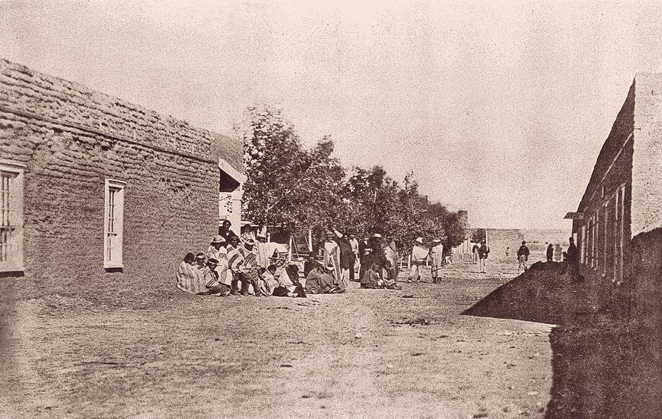
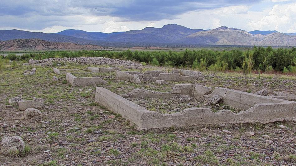
Today, the original San Carlos Agency, or “Old San Carlos,” is sometimes submerged under San Carlos Lake, but its ruins have been visible in recent years. (Ask for directions at the Cultural Center.) Established by executive order in 1871, the joint White Mountain/San Carlos Indian Reservation was first occupied in 1873. Conditions were deplorable for the free-willing Apaches who experienced a concentration camp-like existence complete with a tag system. Malaria and other diseases flourished and opportunities for traditional subsistence activities were curtailed. A breath of fresh air came in 1874 with Indian Agent John Clum (later mayor of Tombstone and founder of The Tombstone Epitaph), who encouraged self-sufficiency and farming among Apaches and lent guns for hunting. He diminished the Army’s presence and established an Apache police force and tribal court.
A memorial at Old San Carlos was unveiled in 2009 to coincide with the one-hundredth anniversary of the death of Geronimo. Chiricahua Apache Geronimo was confined at San Carlos several times, including a stay at Turkey Creek near Fort Apache to the north (see Detours). Geronimo, reaching his limit of tolerance at San Carlos, would bolt to Mexico with other Chiricahuas accompanying him—either voluntarily or forcibly.
Continue east on U.S. Highway 70, driving across the San Carlos Reservation to milepost 302 to view a roadside marker about Geronimo, just east of the town of Geronimo. This location was also the site of the original Camp Thomas, established in 1876. The birthplace of Geronimo remains unknown. Some historians speculate it is near the town of Clifton, beyond Safford, and close to the Arizona-New Mexico border. Another possible location is the Middle Fork of the Gila River in New Mexico. Geronimo himself, born into the Bedonkohe Band, gave the location of his birth as Nodoyon Canyon.
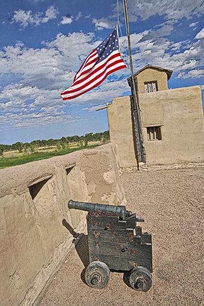
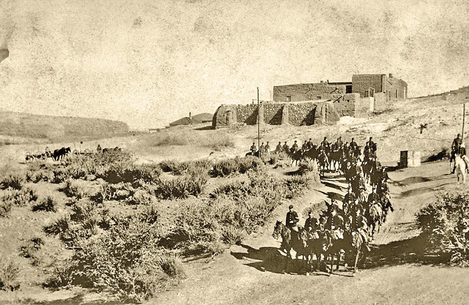
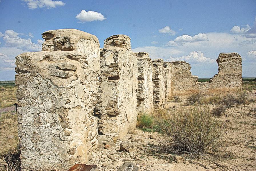
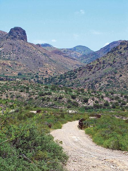
From Safford head south to I-10 and a short drive east to Bowie, Arizona, where a memorial was erected in 1986 to mark the centennial of the Chiricahua Apaches’ surrender and the return to Arizona of the Chiricahua ex-prisoner- of-war and their descendants. Thirteen miles south on Apache Pass Road leads to the trailhead for the three-mile roundtrip hike into Fort Bowie National Historic Site (handicap entrance available). This visit should not be missed. Allow several hours to view the ruins of the Butterfield Stage Coach Station, the post cemetery, an Apache wickiup, the Chiricahua Apache Indian Agency, Apache Spring, the original fort, the later fort, and the Visitor Center’s exhibits and small gift shop. The Apache Wars in Arizona cannot be mentioned without the trigger of the “Bascom Affair,” which occurred at Fort Bowie. In 1861 Lieutenant George Nicholas Bascom met with Cochise to discuss recovery of kidnapped 12-year-old Felix Ward (Mickey Free). Cochise’s veracity was doubted by Bascom, who attempted to imprison Cochise and his family. Cochise escaped, but a series of tit-for-tat captures and killings escalated contributing to 25 years of conflict.
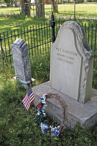
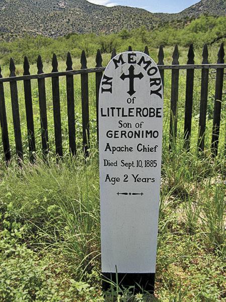
Dominating the view from the Fort Bowie Visitor Center is Bowie Peak, where, according to legend, Geronimo was praying for his sister during her difficult labor. In praying to his Creator, or Ussen, Geronimo was assured by His power that his sister would live, and that he would never be killed with weapons and would die in old age. Geronimo was shot in battle but not killed, and lived to old age, dying as a prisoner-of-war in Oklahoma. Another point of significance is the Fort Bowie cemetery where a grave marker indicates the resting place of Geronimo’s two-year-old son buried under the name “Little Robe.”
Upon leaving Fort Bowie, backtrack to I-10, driving slightly into New Mexico and then traveling south on New Mexico/Arizona Highway 80 to milepost 406 to the Geronimo surrender roadside marker at Apache, Arizona. The marker reads: “Near here, Geronimo, last Apache chieftain, and Nachite with their followers, surrendered, on September 6, 1886, to General Nelson A. Miles, U.S. Army. Lieutenant Chas. B. Gatewood…” The actual surrender site, Skeleton Canyon, is nearby but not accessible to the public.
Continuing south on Arizona Highway 80, pass through the towns of Douglas and Bisbee—historically significant in their own rights. Certainly this vast landscape would have been known and well-traveled by Geronimo and other Apaches. Nearby, across the border in Sonora, is Cañon de los Embudos where the historic council between Geronimo and General Crook occurred. (A visit there is not recommended for safety reasons.) After Bisbee, a short detour to Tombstone is possible or take Arizona Highway 90 to Sierra Vista and Fort Huachuca, where a camp was established in 1877 to offer protection to settlers and travelers in southeastern Arizona, as well as to disrupt Apache mobility in the area. Camp Huachuca became a fort in 1882 and served as advance headquarters for General Nelson A. Miles in 1886 during the final act of the Apache Wars ending in Geronimo’s surrender to Miles. The Fort Huachuca Historical Museum offers outstanding exhibits detailing the significant history of this place during the Apache Wars and at other times in the Southwest. A Museum Annex across the street houses additional artifacts.
An easy drive from Fort Huachuca north on Highway 90 to I-10 then east to Tucson should include stops at the Arizona Historical Society’s Fort Lowell Museum and the Arizona History Museum. The Fort Lowell Museum, in the reconstructed commanding officers’ quarters, features exhibits on military life on the Arizona frontier including the Apache Wars. A highlight of the Arizona History Museum is a Geronimo exhibit that showcases the Springfield rifle that he surrendered to John Clum at the Warm Springs Agency. Also of interest are blowups of some of C.S. Fly’s photos from the Canyon de los Embudos series.
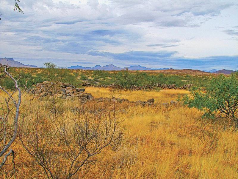
The tour can be brought full circle by heading north from Tucson on U.S. Highway 77 for the 100-mile drive to San Carlos. About 10 miles north of Mammoth, Arizona, is the site of the infamous Camp Grant Massacre of 1871, in which over 100 Aravaipa and Pinal Apaches lost their lives to the stealthy actions of residents of Tucson and the larger number of Tohono O’odhams recruited to carry out the attack. Continuing toward San Carlos, pass through the lower Sonoran life zone and then the road climbs the eastern side of the Pinal Mountains with a pull-off. Look north because the view is San Carlos as far as the eye can see, including noted landmarks such as Cassadore Knob. Geronimo’s footprints are evident throughout the expanses of southeast Arizona. One’s imagination can readily picture Chiricahua Apaches hiding in rocks and crevices or moving rapidly across the valley floors to their havens in Mexico.
Detour
Two places to visit while on tour of Geronimo and Apache history are the San Carlos Apache Reservation and the historic Spanish settlements south of Tucson.
First, start at the Fort Apache Reservation and visit Fort Apache Historic Park located at the Whiteriver, headquarters of the White Mountain Apache Tribe. Visit the Cultural Center and Museum, structures at Fort Apache including Gen. George Crook’s Cabin, and Kinishba Ruins.
Second, from Tucson, drive 48 miles south to Tubac Presidio State Park, adjacent to the Anza National Historic Trail. Visit the oldest Spanish presidio in Arizona established in 1752. The park features a museum and galleries, a gift shop, an underground archaeological exhibit and three buildings on the National Register of Historic Places. Four miles south of Tubac is Tumacácori National Historical Park. Visit the museum and visitor’s center, watch an informational video and take the self-guided tour of the Tumacácori Mission grounds.
Side Roads
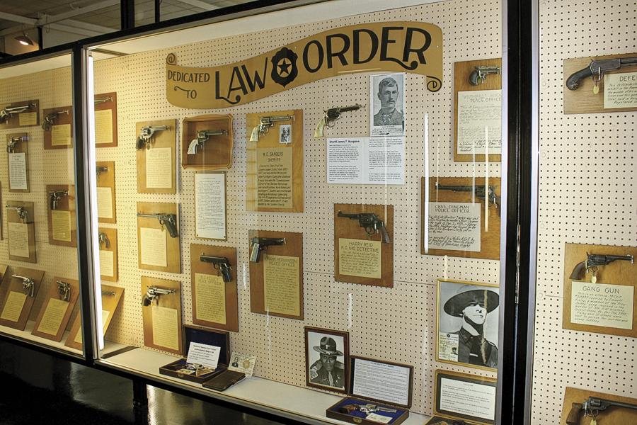
Places to Visit C.S. Fly’s Photographs of Geronimo’s Surrender, C.S. Fly’s Gallery, O.K. Corral, Tombstone • Fort Bowie National Historic Site, south of Bowie • Chiricahua National Monument, southeast of Willcox • Cochise Stronghold Recreation Area, west of Sunsites and Pearce • Slaughter Ranch Johnson Historical Museum of the Southwest, east of Douglas • Fort Huachuca Historical Museum (call ahead, currently being remodeled), Sierra Vista.
Celebrations & Events Pow Wow, San Carlos Reservation, March • Apache ‘Jii’ Celebration, October, Globe • American Indian Arts Exposition and Gem Show, January-February, Tucson.
Good Eats, Sleeps and Reads
Good Grub: Santiago’s Mexican Restaurant (Bisbee) • Fort Bowie Vineyards (Bowie) • El Charro Cafe (Tucson).
Good Lodging: Portal Peak Lodge, Store and Café (Portal) • Copper Queen Hotel (Bisbee) • Apache Gold Casino Resort (San Carlos Apache Reservation).
Good Reads: Geronimo: The Man, His Time, His Place by Angie Debo • Geronimo’s Story of his Life, Geronimo & S.M. Barrett • From Cochise to Geronimo: The Chiricahua Apaches, 1874-1886 by E.R. Sweeney.
Carol Markstrom, Ph.D., is a professor at West Virginia University, where she teaches and researches Apache history research on Apache history and culture. She lives part-time in Tucson and is a frequent visitor on the San Carlos Apache Reservation.
Photo Gallery
– Courtesy Robert McCubbin Collection –
– Johnny D. Boggs –
– Johnny D. Boggs –
– Photos by Johnny D. Boggs –
– True West Archives –
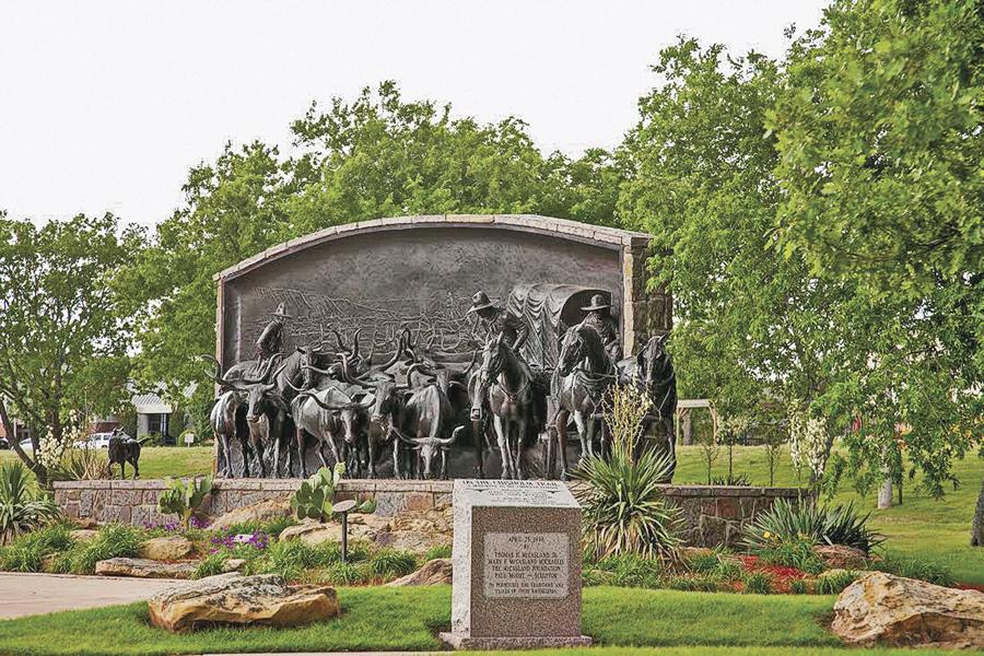
– Toni Hopper/Courtesy Chisholm Trail Heritage Museum —
– True West Archives –
– Doug Hocking/Courtesy Robert McCubbin Collection –
– Courtesy Library of Congress –
– Courtesy National Cowboy & Western Heritage Museum –
– Courtesy Woolaroc Museum –
– True West Archives/Courtesy Library of Congress –
– Photo by Carol Markstrom –
– Doug Hocking –
– Photos by Johnny D. Boggs –
– Courtesy Whitney Western Art Museum, Buffalo Bill Center of the West –
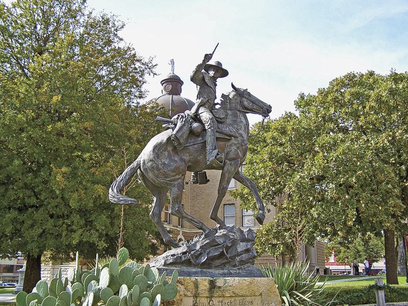
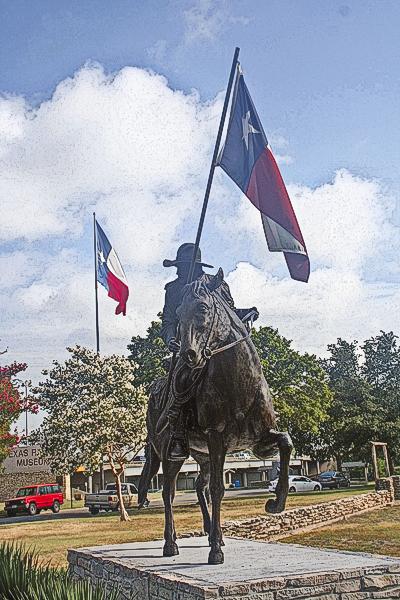
– Laureen Chernow/Courtesy Hays County –
– Courtesy JM Davis Arms & Historical Musem –
– Matthew Brady –
– Courtesy Lee Burke Collection –
– Johnny D. Boggs –
– Courtesy Robert McCubbbin Collection/Map Courtesy Library of Congress –
– Courtesy Library of Congress –
– Courtesy the National Archives –
– Photo by Carol Markstrom –
– Courtesy Vancouver USA Regional Tourism Office/Courtesy Amon Carter Museum, Fort Worth, Texas –
– Courtesy Jon Rahl, City of Seaside Visitors Bureau –
– Doug Hocking –
– Courtesy Robert McCubbin Collection –
– Courtesy Texas Tourism –
– Max McCoy –
– Carol M. Highsmith/Courtesy Library of Congress –
Related Articles
-
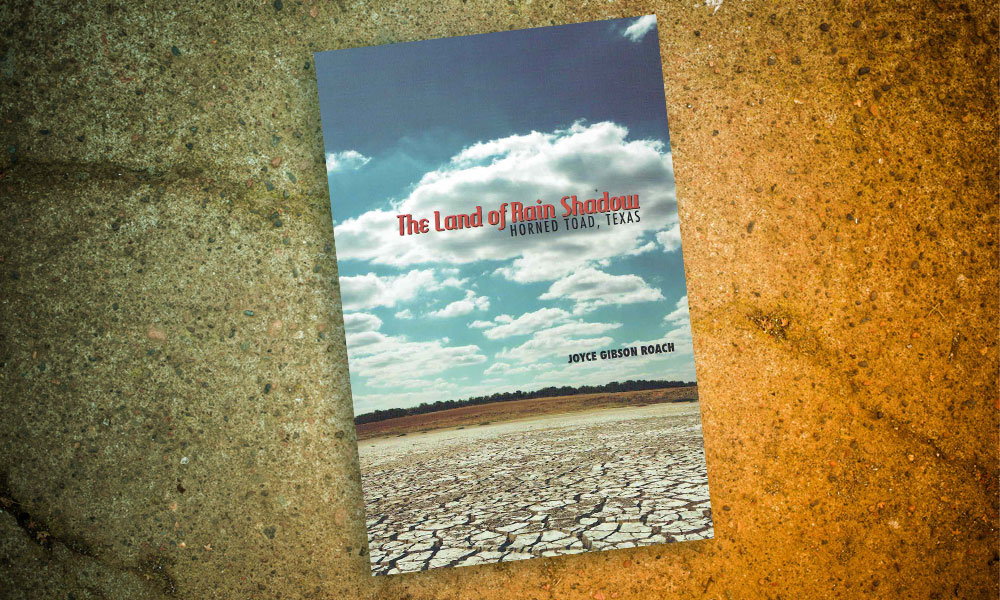
Texas Tech University Press has recently published West Texas author Joyce Gibson Roach new collection…
-

In Wagons West: Texas Freedom!, Dana Fuller Ross spins an intriguing tale worthy of Alamo…
-
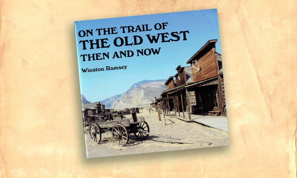
English author Winston Ramsey loves the history of the Old West. His passion for the…