Who was the first American to map the Columbia River Basin from the Snake River to the Canadian Border?
Dave Nelson
Orondo, Washington
The first American to survey and map the Columbia River Basin was Lt. Charles Wilkes of the U.S. Exploring Expedition from 1838-42. That force was the last all-sail naval mission to circle the world.
The journey did not go all that smoothly; Wilkes lost 28 men and two ships, one on a Columbia River bar, and he was court-martialed. He was found guilty on one count, for illegally punishing his sailors. Some historians believe he was the model for the maniacal Captain Ahab in Herman Melville’s Moby Dick.
Wilkes’ narrative of the expedition, published in 1844, is considered a tour de force of American exploration.
Related Articles
-
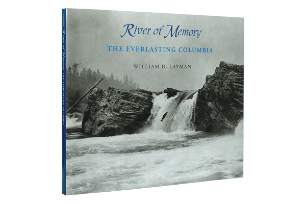
River of Memory is a captivating read on the Columbia River before it was tamed…
-
Horsethief Basin, high in Arizona’s Bradshaw Mountains gets its name because rustlers used to steal…
-
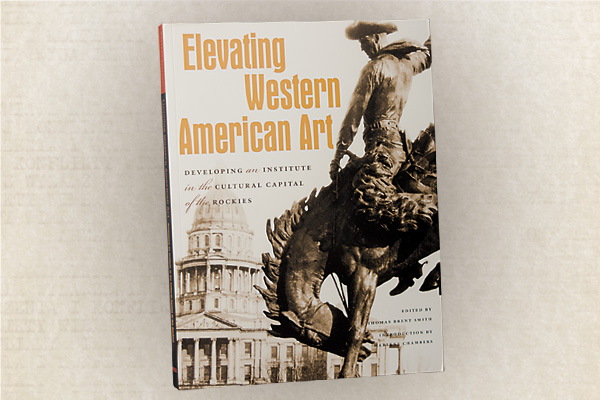
The pages of Elevating Western American Art feature 30 in-depth essays written by renowned art…